ATRAIL – Using consumer technology to assess active travel routes
- Date: 2021
- Client: GeoSpatial Commissiony
- Project Type:Technical feasibility study
About this Project
ITEN Project team: Trevor Bradbury and Howard Farbrother (Pragmatex) and Helen Viner (Enodamus), working with One Big Circle (OBC). Input from the West of England Combined Authority and Transport for West Midlands.
The Issue Identified: Active travel is enabled by dedicated safe routes. Assessment of footways and cycleways, whether for planning improvements, assessing maintenance or monitoring interventions, is currently a predominately manual process with limited data available to support it. The vision for ATRAIL was to deliver a low-cost footway and cycleway survey solution that can be used by local authorities to simplify and speed up the assessment of their footway and cycleway assets and streetscapes.
The Work Undertaken
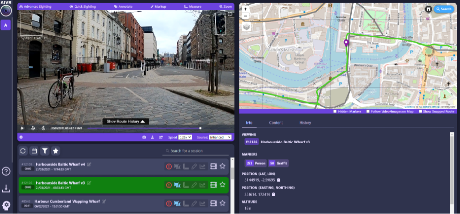
The project used smart phones and GoPros, i.e. cheap, consumer-grade technology, to collect video surveys in Bristol by scooter and cycle. It investigated the usefulness of LIDAR point cloud data from an iPhone12Pro and used OBC’s video-sharing platform (AIVR) for manual mark-up, measurement (e.g. gaps between bollards) using the 3D LIDAR mesh, automated analysis of features, and sharing the data and information between authorised users.
The Outcome
High quality video was readily obtained from a moving platform and can support identification / assessment of asset inventory, surface condition, obstructions, safety and security, usability and user facilities. In areas scanned (by LIDAR) by an operator on foot, measurements were accurate within approx. 2%, i.e. adequate to support route audits. Although the LIDAR quality obtained from a moving platform was poor, this can be expected to improve as the technology matures. Furthermore, using automated feature detection from the video data, metrics of route congestion were developed, enabling potential ‘pinch points’ to be identified.
The Benefit to the Client
Cheap, available technology combined with an intuitive web-based platform and supporting analytic capability can provide a combination of quantitative and qualitative data on route condition, features, bottle necks, high-risk junctions and interactions between users. These insights into the usability, use, and safety of the network for active travel will support its management and development, contributing to government objectives to promote active travel.
In Partnership With
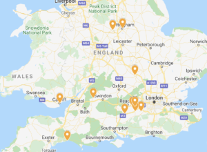
Click the image below to see where each of our members are based